ARCGIS
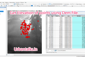
GIS0011 Get Elevation of Points using Dem files
Summary – Get Elevation of Points using Dem file. Instructions provided describe how to Get Elevation of Points using Dem files. Two Steps: Interpolate 3d for the layer Using a dem file. Get Elevations to attribute table using Calculate Geometry tool. Note : If you are facing any difficulty following this Read more…
