Summary – GIS0016 2019.09.04 Landuse Pixelation to Identify Major Landuse by Area in each Grid. Landuse Pixelation to Identify Major Landuse by Area in each Grid using ArcGIS Pro, ArcMap, Qgis. For this tutorial, we Read more…
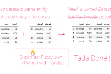
Summary – SUPERFAST FUZZY JOIN IN PYTHON USING PANDAS. Sometimes we have to join two different data set about same entities but variations in entity name, this makes direct join process incapable of handling the Read more…
Summary – Orthorectification of UAV generated DTM DSM by postprocessing in ArcGIS. Orthorectification of UAV generated DTM DSM by postprocessing in ArcGIS, it requires DTM or DSM generated from PIX4d or Agisoft (any photogrammetry software) Read more…