ARCGIS
Update GIS Features using AutocadMap
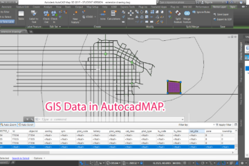
Summary – Update GIS Features using AutocadMap. Instructions provided describe how to update GIS features using AutocadMap , in the tutorial AutocadMap 3D has been used to update a Shapefile. We all miss the good cad interface when dealing with GIS data whether it be tracing or other tasks, this Read more…
